Maps of Antibes – Best map of antibes and cap d’antibes
DOWNLOAD THE ESSENTIAL ANTIBES MAPS & PLANS
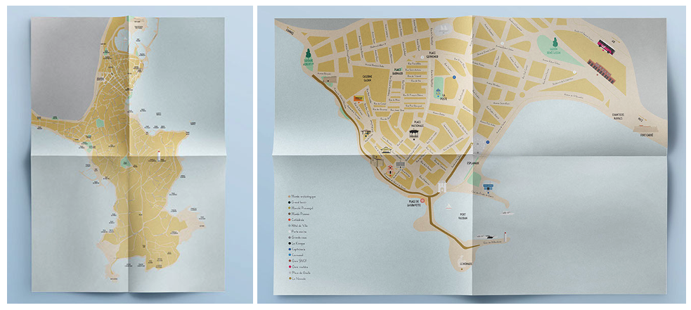
Download a free PDF of Antibes Insider’s free maps of Antibes that provide details about the main streets, the best beaches, and some of the popular tourist sites. We focus on some amazing places to see that are only known to “insiders.” Download your free map of the old town of Antibes or of the Cap d’Antibes with the main beaches and popular hiking and running paths.
Maps created by Antibes Insider
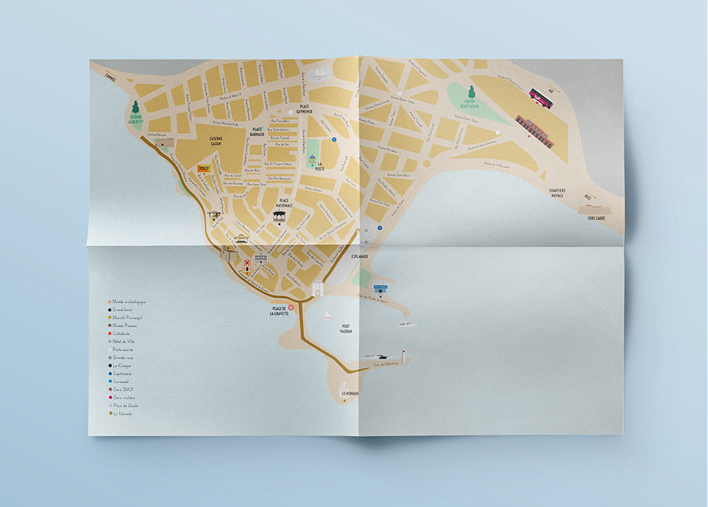


Download a Free Map of Antibes old town
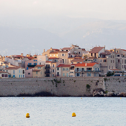
The historic old town of Antibes is one of the most spectacular towns on the French Riviera with charming old streets, amazing restaurants and bars, artists’ studios and galleries, unique shops and boutiques, and its famous Provencal farmers’ market. Antibes maintains its medieval ramparts and has some cobbled-stone streets that have been used since the Romans controlled the region. We highly recommend visiting the Picasso Museum located in the historic Chateau Grimaldi. There is also a sandy public beach just outside of the old ramparts of Antibes called Plage de la Gravette which is popular among tourists and locals for its protected waters and proximity to the old town.
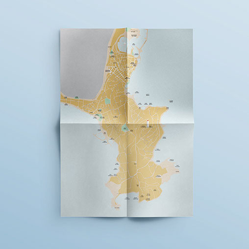


Download a Free Map of Antibes
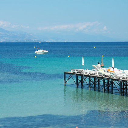
This Antibes Insider map of the old town of Antibes and the Cap d’Antibes provides an good overview for visitors to the city who want to venture to some of the nearby beaches on the Cap d’Antibes or want to explore Juan Les Pins with its large selection of restaurants, shops, bars, and beach clubs. We recommend visiting Plage Salis, which is located a 10-minute walk from the center of the old town. For those who want to explore the Cap d’Antibes, Plage de la Garoupe has an amazing beach club (Plage Keller) and is also the start of the coastline hike around Cap D’Antibes which ends at the Baie des Milliardaires (Billionaires Bay). There are numerous small beaches to jump into the azul-blue Mediterranean along this trail.

